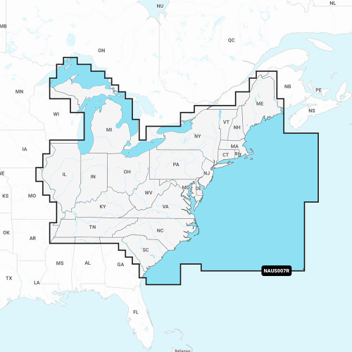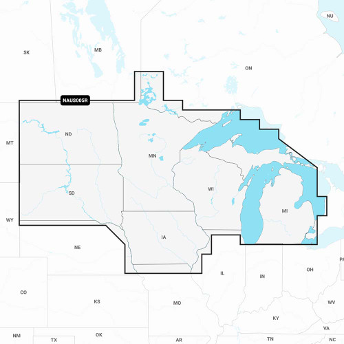


The Navionics NAVI Navionics+ MSD/NAV+NI is a marine charting and navigation software card designed for serious boaters and fishing enthusiasts. It provides detailed nautical maps, bathymetry data, and real-time water conditions to enhance your on-water navigation and safety.
This card is compatible with Navionics-enabled marine GPS units and chartplotters, making it an essential upgrade for mariners who demand comprehensive, accurate charting information. The Navionics+ content includes detailed depth contours, navigational aids, marina information, and crowd-sourced user data to help you navigate confidently in coastal and inland waters. Whether you're planning a fishing trip, cruising to a new destination, or simply exploring local waterways, this charting card provides the detailed navigation intelligence professional and recreational boaters rely on.
Key Features & Benefits
- Marine Charting Data: Comprehensive nautical maps with depth contours, navigational aids, and marine features.
- Navionics+ Content: Enhanced mapping data including detailed bathymetry and real-time water information.
- GPS Compatibility: Works with Navionics-enabled chartplotters and marine GPS units.
- MSD Card Format: Durable, reliable storage format compatible with standard marine electronics.
Specifications
| Brand | Navionics |
| Model/MPN | MSD/NAV+NI |
| Product Type | Marine Charting Software Card |
Ideal Applications
- Recreational boating and yacht navigation
- Fishing trip planning and waterway exploration
- Coastal cruising with GPS chartplotters
- Inland lake and river navigation